


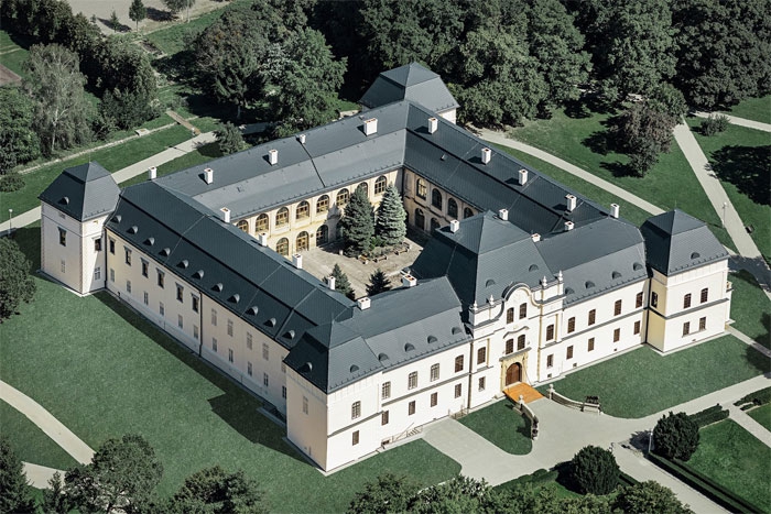
Mansion in Humenne - Vihorlat Museum
The beginnings of Vihorlat Museum's history date back to the year 1960 and are connected with the decision that the renovated manor house in Humenne will also serve museum purposes.We obtained the statute of Local History Museum in 1964. Since 2002, the founder of the museum is Prešov ...

")


Lednica castle
The castle is located in the district of Púchov in the Trenčín Region (Trenčiansky kraj), near the village of Lednica in the White Carpathians mountains. It is built on a steep cliff and creates a significant dominant feature of the area. It was built in the 13th century and served primarily as a guard castle to protect the borders, it was a royal castle. The castle consisted of three graded parts. Interesting is the castle tunnel, which was the only access to the main palaces of the castle. Also interesting is the stone staircase that leads to the observation point with a view of the surroundings. The castle can be reached on foot from the village of Lednice in about 15 - 20 minutes. At present, it is a ruin, which is being restored by the Historical and Astronomical Society in cooperation with the municipality of Lednice, with the help of volunteers and with the support of the Ministry of Culture of the Slovak Republic and the Office of Labor, Social Affairs and Family in city of Považská Bystrica.


")

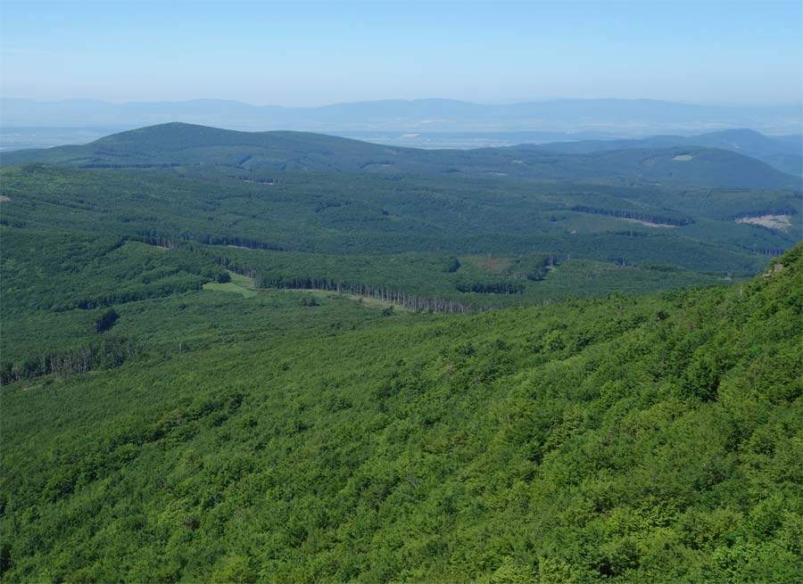
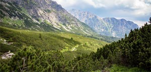
Vihorlat Mountains
Vihorlat Mountains (Vihorlatské vrchy) is mountain range in East Slovakia and partly in the west of Ukraine. It is located in Prešov Region (Prešovský kraj) - districts Humenné and Snina and in Košice Region (Košický kraj) - districts Michalovce and Sobrance on the territory of Slovakia. ...
Dobšinská Ice Cave
Dobšinská Ice Cave (Dobšinská ľadová jaskyňa) is located in the Košice region (Košický kraj), in the Rožňava district in the Slovenský Raj mountains near the mining municipality of Dobšiná. It is one of the most important ice caves in the world. Since 2000, it has been included in the UNESCO world natural heritage. The cave was first made accessible in 1871. It is interesting that the glaciation in the cave persists at an altitude of only 920 to 950 m.


")


")


