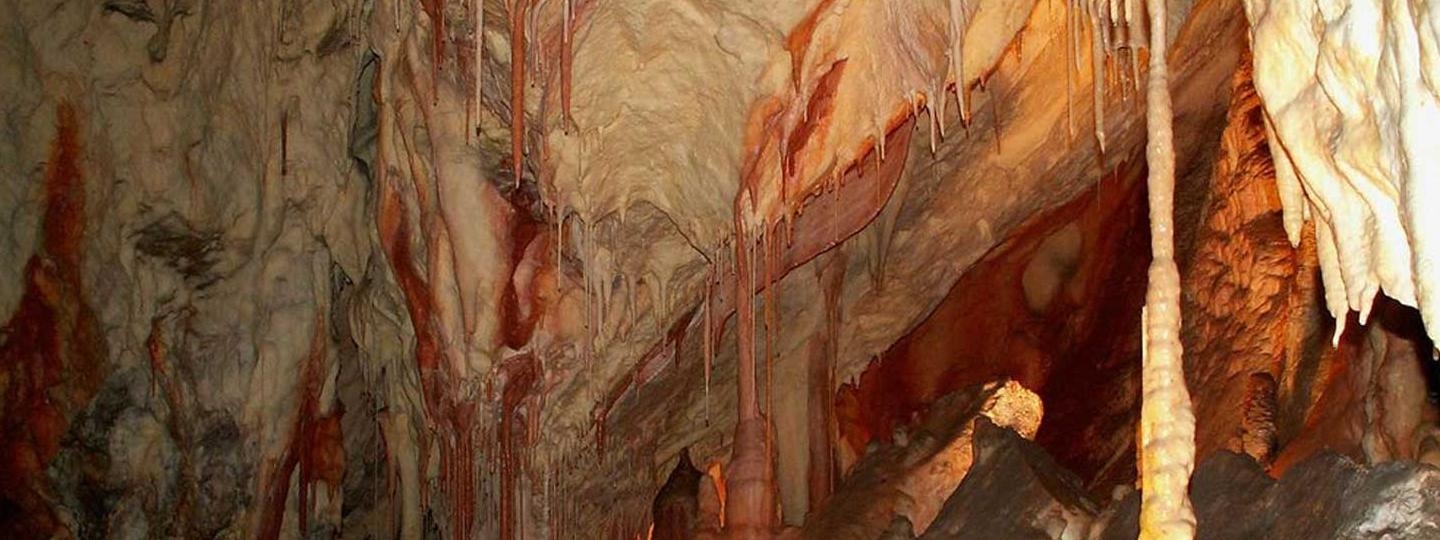
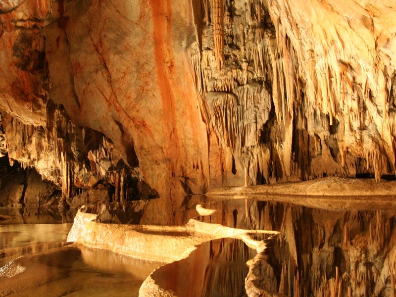
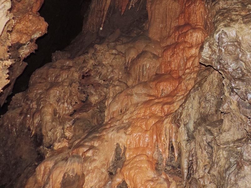
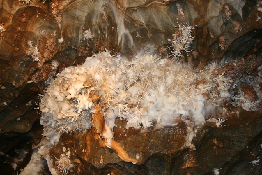
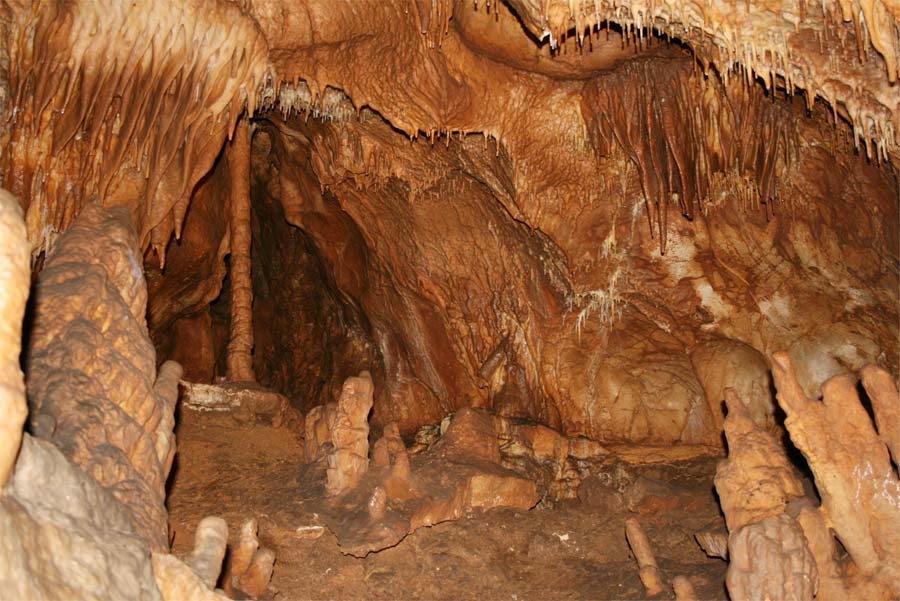
Gombasek Cave
Category: UNESCO Natural Heritage (Slovakia ❯ UNESCO World Heritage ❯ UNESCO Natural Heritage)
Caves (Nature ❯ Caves)
Caves (Nature ❯ Caves)
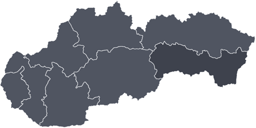
Region: Košice Region
District: Rožňava
City / Municipality: Slavec
Tourist location: Gemer
Mountains:Slovak Karst (Slovenský kras) Silická planina
National natural monument
World Heritage: UNESCO Natural Heritage
District: Rožňava
City / Municipality: Slavec
Tourist location: Gemer
Mountains:Slovak Karst (Slovenský kras)
National natural monument
World Heritage: UNESCO Natural Heritage
